PDMS ↑ higher is better
91.3
+0.5vs. best baseline
| Method | World modelling supervision | PDMS |
|---|---|---|
| ReCogDrive | — | 90.8 |
| OWMDrive | 3D Occupancy | 90.8 |
| ExploreVLA | RGB + Depth | 90.4 |
| DriveVLA-W0 | RGB | 90.2 |
01 / Overview
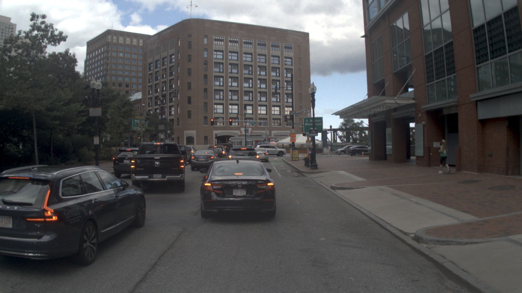
Multi-view images, ego state
Navigation command: “keep straight”
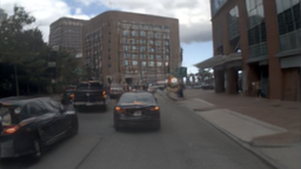
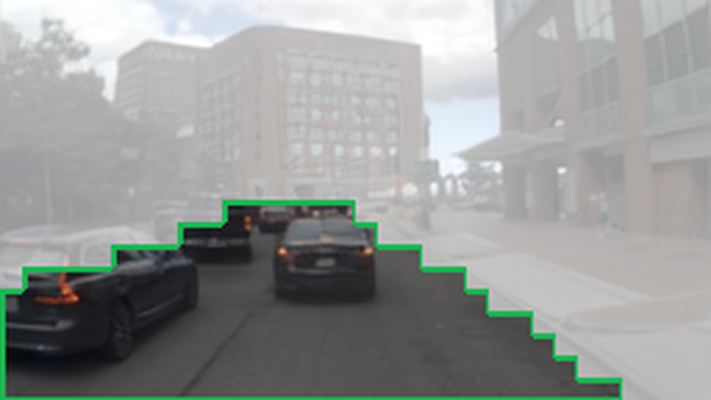
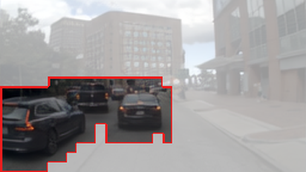
World predictions

Planning outcomes
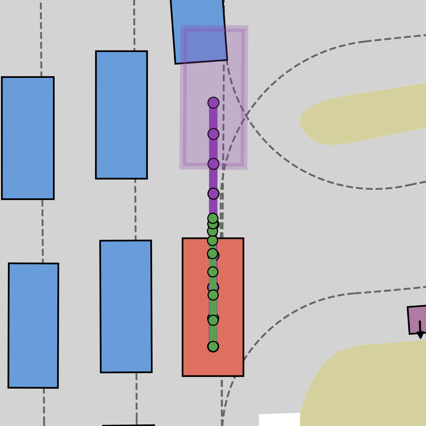
Collision PDMS 0.0
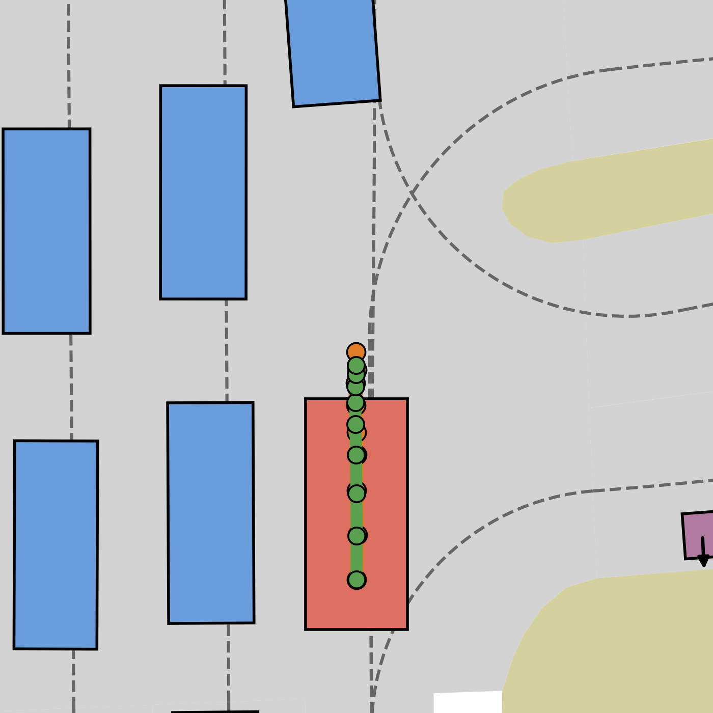
Safe trajectory PDMS 100.0
RGB-based world-action models predict the scene’s future appearance. For planning, however, it is more important for a model to understand future geometry and identify the regions that matter for the ego vehicle’s future actions.
02 / Method
A causal VLM processes multi-view images, navigation commands, ego state, and four groups of learnable tokens.
What matters for action
Affordance tokens forecast drivable areas and collision-critical regions across the current and future scene, explicitly modeling how action-relevant space evolves over time.
03 / Results
AffordDrive3D achieves 91.3 PDMS on NAVSIM v1 and 89.9 EPDMS on NAVSIM v2.
| Method | World modelling supervision | PDMS |
|---|---|---|
| ReCogDrive | — | 90.8 |
| OWMDrive | 3D Occupancy | 90.8 |
| ExploreVLA | RGB + Depth | 90.4 |
| DriveVLA-W0 | RGB | 90.2 |
| Method | World modelling supervision | EPDMS |
|---|---|---|
| ExploreVLA | RGB + Depth | 88.8 |
| DriveDreamer-Policy | RGB + Current Depth | 88.7 |
| DriveSuprim | — | 87.1 |
| DriveVLA-W0 | RGB | 86.1 |
04 / Visualizations
AffordDrive3D demonstrates strong planning performance in challenging scenarios, such as narrow curvy roads and interactions with collision-critical objects.
Narrow curvy road
AffordDrive3D’s drivable-area forecasts capture the narrow road structure over time, so its trajectory remains near the lane center. The RGB WAM and action-only baselines both go off-road.
Trajectory prediction
AffordDrive3D world modelling
Leading vehicle braking
AffordDrive3D’s collision-critical forecasts track the leading vehicle across future horizons, while RGB-consistent depth captures its distance and surrounding geometry. AffordDrive3D maintains a safe distance, while both baselines collide.
Trajectory prediction
AffordDrive3D world modelling
05 / Citation
@article{cai2026afforddrive3d,
  title={AffordDrive3D: Affordance-Aware World-Action Modeling with Spatial Understanding},
  author={Cai, Tianhui and Sun, Xinglong and Fang, Chao and Li, Zhenxin and Song, Rui and Alvarez, Jose M and Mao, Yunxiang and Ma, Jiaqi and Liu, Langechuan},
  journal={arXiv preprint arXiv:2610.11060},
  year={2026}
}